Construction & Surveying
Drones for Construction and Surveying
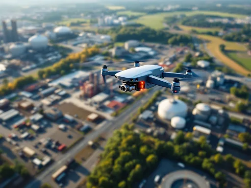
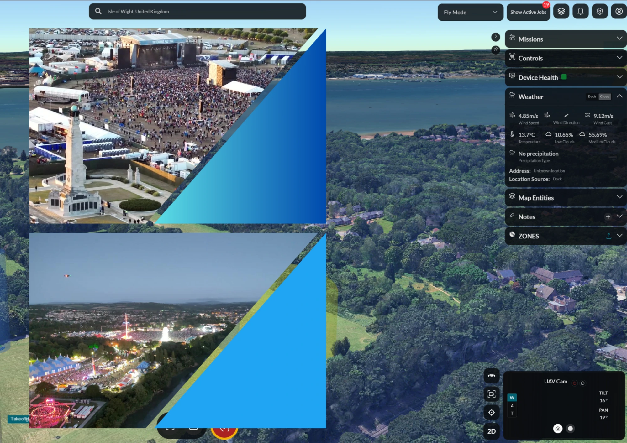
Capture the whole site, on schedule, without sending a pilot out for every flight. IDI automated drone systems turn site progress, volumes, and inspections into repeatable data you can trust.
Construction and survey teams rely on accurate, up-to-date site data, but capturing it the traditional way is slow, costly, and hard to repeat. Manual drone flights depend on pilot availability, and ground survey of large or hazardous sites puts people at height and at risk.
IDI automates the capture. An aircraft based in an on-site dock flies the same route on a set schedule, gathering the imagery you need for progress reports, volumetric surveys, and inspections, then delivers it through IDI Fly. The result is consistent, comparable data with no one stepping into a danger zone.
The construction and surveying challenge
Decisions need current, accurate, repeatable site data, but capturing it manually is slow, costly, and inconsistent.
- Slow manual capture: booking a pilot or surveyor for every flight delays the data and the decision.
- Inconsistent results: hand-flown surveys are hard to repeat, so comparing week to week is unreliable.
- Safety at height and scale: surveying large, active, or hazardous sites on foot exposes people to risk.
- Volume and progress disputes: stockpile volumes and progress claims are hard to verify without good data.
- Data that sits in silos: imagery that never reaches the right tool slows BIM and reporting workflows.
How IDI supports construction and surveying
On-site, automated capture that produces consistent, comparable data set after set, with no pilot on site.
Scheduled, repeatable flights
Aircraft fly the identical route on a timetable, so every dataset lines up for accurate week-on-week comparison.
Progress monitoring
Capture the whole site on a regular cadence to track progress, evidence claims, and keep stakeholders aligned.
Volumetric and survey data
High-resolution imagery supports photogrammetry, stockpile volumes, and survey-grade outputs for your existing tools.
Inspection without the risk
Inspect structures, facades, and hard-to-reach areas from the air, keeping people off ladders, scaffolds, and rope access.
On-site, no pilot needed
A dock-based or portable aircraft launches on demand or on schedule, so you are not waiting on pilot availability.
AI edge processing
Onboard NVIDIA Jetson processing supports real-time analysis at the point of capture, before data even leaves the site.
The system behind it
Built and integrated by IDI to work together out of the box.

IDI ADS600
Compact, relocatable docking that moves with the project as the site evolves.
Learn more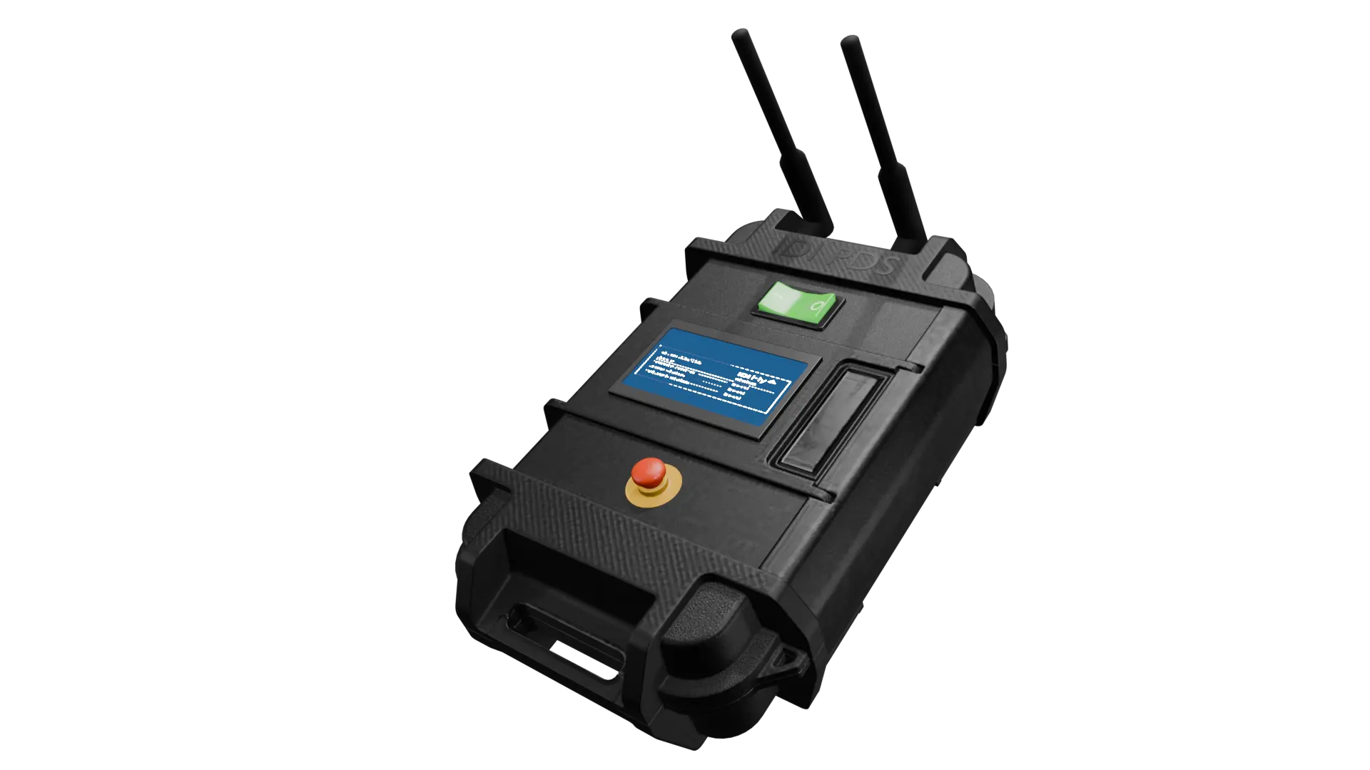
IDI PDS
Portable deployment system for surveys and inspections anywhere on site.
Learn more
IDI Fly
Plan repeatable missions, schedule captures, and route data into your workflow.
Learn more
IDI Aquila UAS
UK-built UAS for wide-area survey and mapping of large sites.
Learn moreFrequently asked questions
Drones capture regular aerial imagery of a site for progress monitoring, volumetric surveys, mapping, and structural inspection. IDI automates this with dock-based aircraft that fly repeatable routes on a schedule and deliver data through IDI Fly.
Yes. IDI aircraft fly the same pre-planned route every time, so each dataset is directly comparable. This makes week-on-week progress tracking and change detection reliable.
No. An on-site dock or portable system lets aircraft launch on demand or on a schedule without a pilot present, removing the delay of booking and mobilising a pilot for each capture.
High-resolution imagery supports photogrammetry outputs such as orthomosaics, point clouds, and stockpile volumes, which feed into common survey and BIM tools.
Yes. Inspecting structures and facades from the air keeps people off ladders, scaffolds, and rope access, reducing exposure to work-at-height risk on active sites.

Turn your site into reliable, repeatable data.
Talk to IDI about automated capture for progress, volumes, and inspection across your projects.